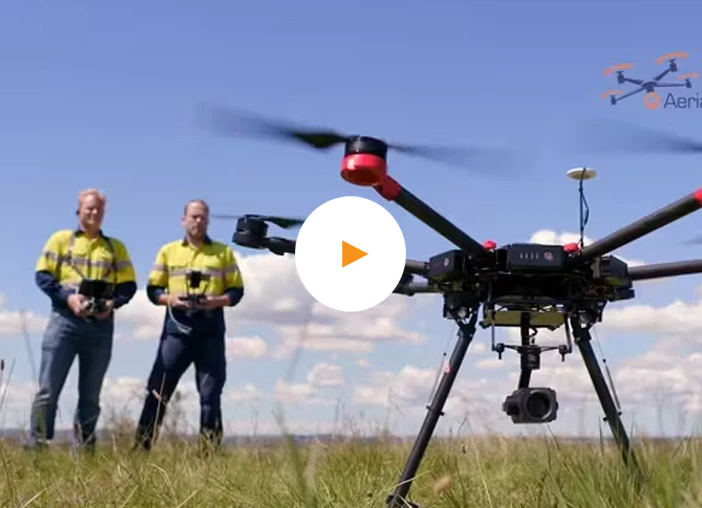
AEC PHOTOS & VIDEO
AEC Services Miami
Discover the Best Aerial Photos & Video and Mapping Solutions
The Architecture, Engineering, and Construction industries now can benefit from Drone and 3D modeling technology to help key stake holders stay informed on project status and mitigate risk on jobsites. This ultimately will help them save money, time and mitigate frivolous law suites.
Job Site Imagery
An essential tool for staying on track, reducing risk, and keeping key stakeholders informed.
Aerial progression photos and videos can be used in construction for project tracking, documentation, stakeholder communication, and marketing. They provide a comprehensive overview of the construction site, track progress and identify issues, serve as valuable documentation for legal disputes, provide visual evidence of completed work, and help to communicate progress and updates to stakeholders. Additionally, they can be used for marketing purposes to showcase completed projects and attract new clients.

Architecture, Engineering & Construction Videography and Photography Services Across South Florida. From Palm Beach to the Keys.
Call today to learn more about our services and how we can supercharge your media marketing through professional photos and video!
The Benefits
The benefits of implementing periodic imagery scans of a project far outweigh not doing so. Here are some of reason why:
Project Management
Construction projects are notorious for taking longer than expected and going over budget. Developers hate this but accept it. Of course, they’d love to have a better way to control or manage the progress of the project, but there really hasn’t been a standardized way to do that. Now, with our drones, we can do an aerial scan of the progress of the construction project (photos and video) and provide that to the developer. He can then take whatever action necessary with the contractor in charge of the project.
Safety & Inventory Control
Project managers can maintain safety and control of their inventory. Visual aerial and ground data allows project managers to easily see where they may have a problem or a safety issue. It also allows them to see, with historical data, how much inventory they have on site.
Surveying
We will fly the drone and run the data you collect through AI software to provide construction site intelligence in real time for key stake holders, project management and more.